
DEWLINE HISTORICAL DESCRIPTION
Topography
- CAM-MAIN on CAMBRIDGE BAY, Canada, is situated on 1627 acres along the coastal margin of an extensive, rolling plateau which rises gently inland from the top of steep cliffs (40 to 80 feet high) boardering the western arm of the bay. This Main Radar Station, located approximately 100 feet above sea level, contains the data center for the military CAM Sector, but does not support a contractor’s sector headquarters group. The surface of the terrain is broken by innumerable swamp-margined lakes and ponds. Mount Pelly, about 12 miles northeast of the site is 675 feet high and represents the highest point in this region of Victoria Island. The drainage pattern in the immediate vicinity of the station develops through a chain of lakes to the sea. Vegitation is scant.
Climate
- Annual precipitation, including snowfall, is approximately 5.5 inches, being heaviest in July and August and least in February. Snowfall is greatest in October and November and averages about 29 inches a year. Absolute minimum and maximum temperatures are minus 62 and plus 77 degrees Fahrenheit respectively.
Water
- Potable water is pumped from a lake to the station through a heated pipeline.
Site Building Layout Diagram.
Photos
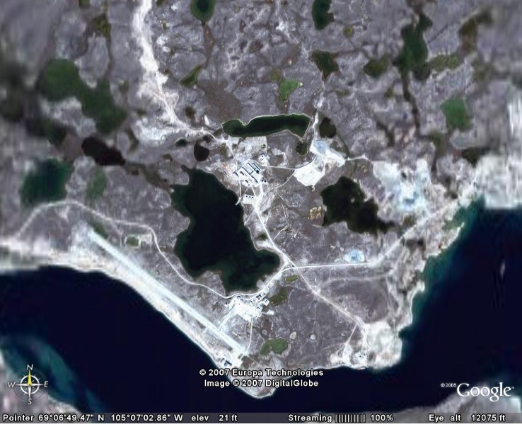
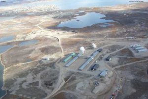
Satellite Image – High level.
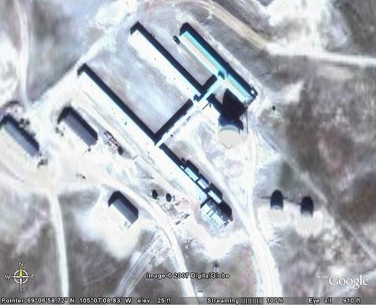
Satellite Image – Close-up.
Click to enlarge.
-
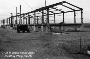
- ATCO building under construction. Courtesy Philip Nirschl.
-
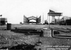
- Under construction. Courtesy Philip Nirschl.
-
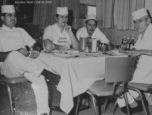
- CAM-Main kitchen staff in 1969. Courtesy Chris Bentley (second from left).
-
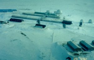
- Aerial photo, winter 1992. Courtesy Dan McIsaac.
-
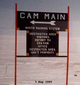
- Welcome to CAM Main, 5 May 1989.
-
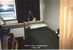
- Typicl 5-star accomodation at CAM-Main, May 1989.
-
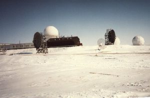
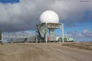
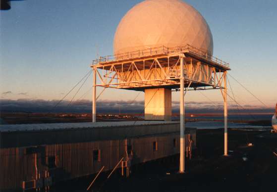
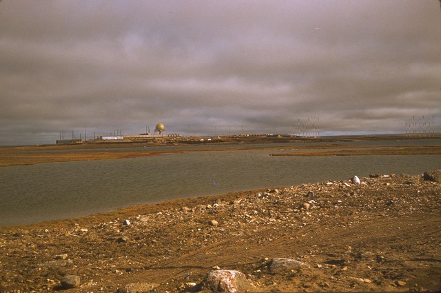
- Shown in thi photo is the main radome, satellite radomes (small), tropo antennas, and the power plant (black building).
-
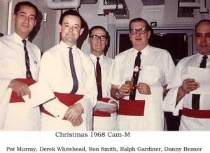
- CAM-Main Christmas, 1968. Courtesy Derek Whitehead.
-
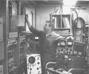
- Radician Charles MacDonald hard at work in 1966. Courtesy Charles MacDonald.
-
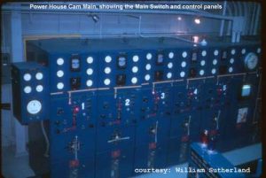
- Main power plant.
-
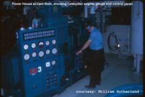
- Main power plant.
-
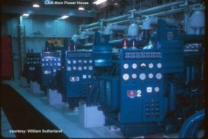
- Main power plant.
-
- Site photo, Aug/Sept 1999.
-
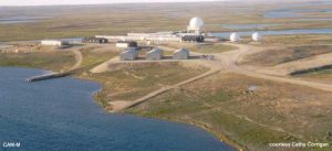
- Aerial photo taken in Aug/Sept 1999, showing the village of Cambridge Bay.
-
- Aerial photo, Aug 2002.
-
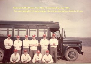
- CAM-Main softball team (short season!).
-
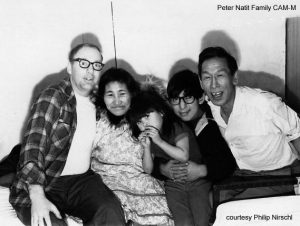
- Philip Nirschl (left) with Peter Natit & family. March 1970.
Full size photos (below).
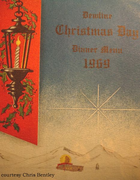
Christmas Menu cover 1969. Courtesy Chris Bentley.
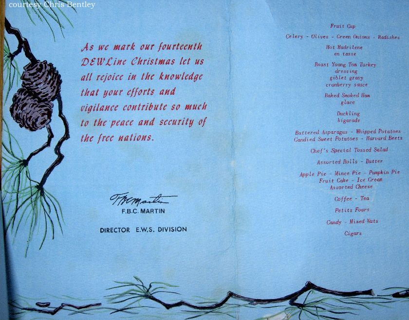
Christmas Menu 1969. Courtesy Chris Bentley.
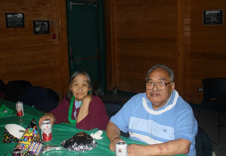
Ambrose & Annie Aknavigak, Dec31, 2006.
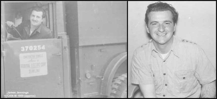
James Jennings 1959 (approx) .
Lights of the village of Cambridge Bay in the background. Courtesy of Marty Atherton.
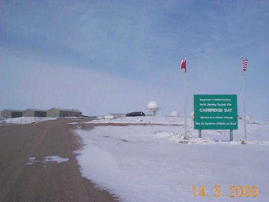
“Official” Site Entrance Sign taken 14 May 2000. Courtesy Dan McIsaac.
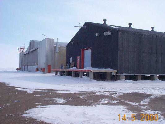
Air Terminal building & Hangar 14 May 2000. Courtesy Dan McIsaac.
Four pages from Arctic Star handout 01 Mar 1971 Courtesy Bob Schmidt.
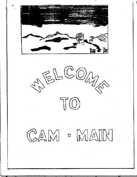
Cover Sheet.
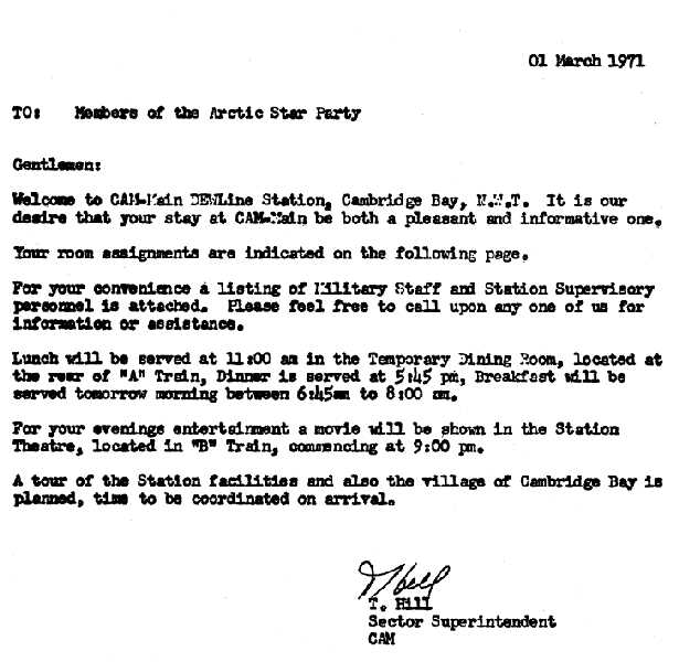
Welcoming Letter.
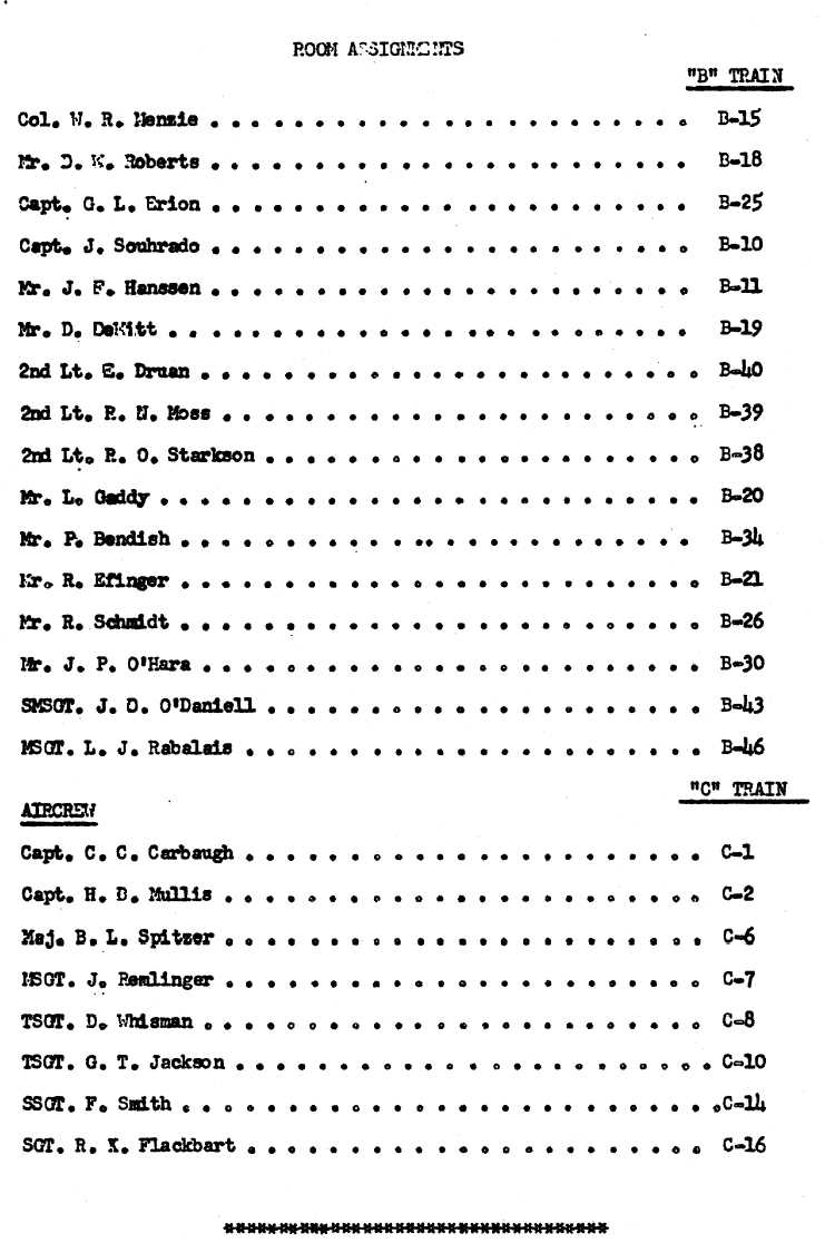
List of attendees and room assignments.
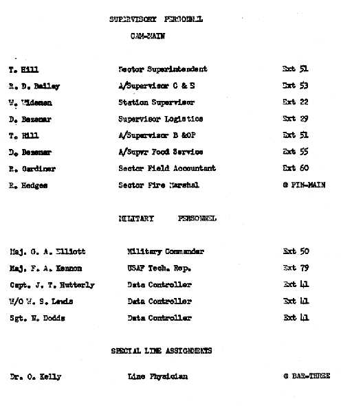
List of station personnel.
Construction Era Photos for CAM-Main.
The pictures below were selected from the extensive collection of Markham Cheever, the DEWLine’s Superintendent of Construction from 1953 to 1957, before the Line went operational. (Click on picture to enlarge.)
-
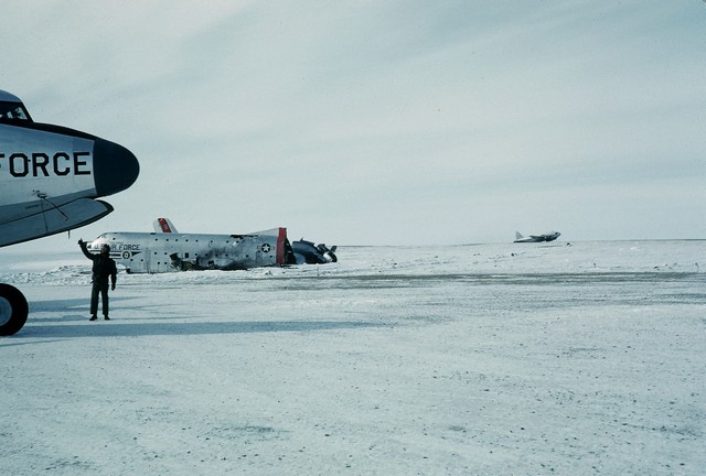
- Wrecked C-124. Not every landing went as planned. May 1957.
-
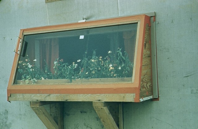
- John Monroe’s flower garden. Sept 1956.
-
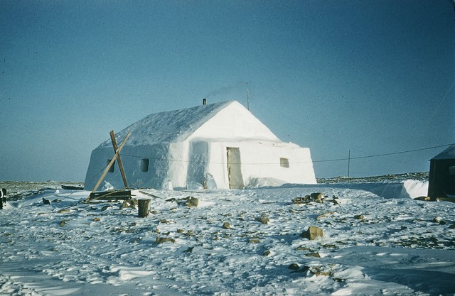
- Eskimo (now called Inuit) house insulated with snow blocks. Feb 1957.
-
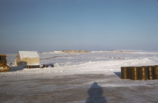
- View of the CAM Main site from the airstrip in August 1956.
-
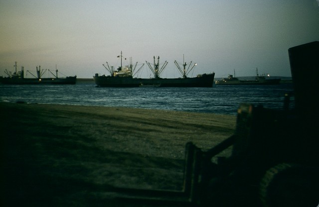
- Sealift convoy unloading at 11 PM. August 1956.
-
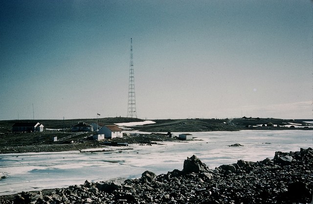
- The DOT Loran tower as seen from the Cambridge Bay RCMP detachment. June 1956.
-
- View of CAM Main from the airstrip. The radome has yet to be assembled. March 1956.
-
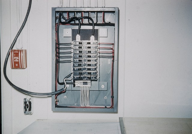
- Neat, professional wiring with a temporary connection for testing purposes. March 1956.
-
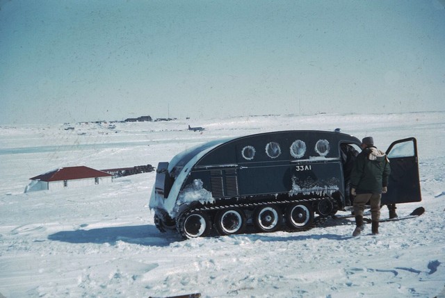
- Typical 8-person snowmobile. Used tracks and skis in the winter and wheels in the summer. May 1955.
-
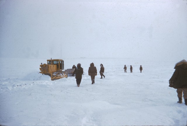
- A D-4 Caterpillar plowing the CAM Main runway. March 1955.
-
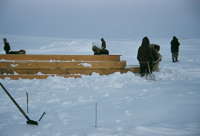
- Removing snow from the lumber required for construction. March 1955.
The People
The people in the photos below, also from the Markham Cheever collection, are displayed in the hopes that someone may recognize a father, grandfather, or friend who was involved in the construction of this particular DEWLine site. (Click on picture to enlarge.)
-
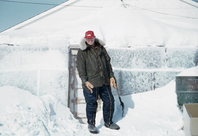
- Markham Cheever outside the ice vestibule. May 1955.
-
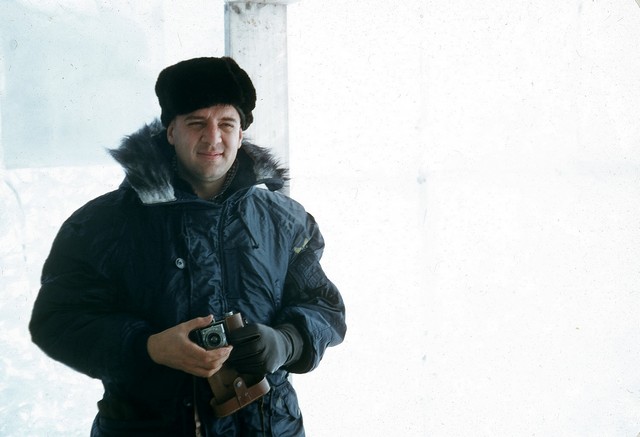
- Major Richmond in the ice vestibule. May 1955.
-
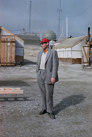
- Markham Cheever, August 1956.