
DEWLINE HISTORICAL DESCRIPTION
Topography
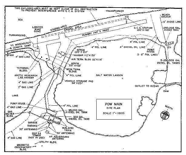
- POW-MAIN at POINT BARROW Alaska, is situated about 10 feet above sea level at the northernmost point in Alaska. This Main Radar Station, supporting neither a Data Center nor a sector headquarters support group, occupies 268 acres of an old, tundra covered beach. The prominent topographical features aside from the sea, a salt water lagoon, a large water lake, and long flat fingers of beach like land running into the sea are the man made structures, such as POW-M site buildings, its 4800-foot Marston mat airstrip, the University of Alaska’s Arctic Research Laboratory, and the village of Point Barrow. There is sufficient natural gas at Point Barrow for local commercial purposes and to provide an auxiliary fuel source for the operation of the converter-equipped diesel engines of the POW-M electric power plant.
Climate
- Annual precipitation, including snowfall is approximately 4 inches, being heaviest from July to October. Snowfall averages about 26 inches a year. mean daily temperatures run from a minimum of plus 4.2 to a maximum of plus 15.9 degrees Fahrenheit above zero.
Water
- A 2 mile round trip potable water haul is maintained summer and winter
PHOTOS
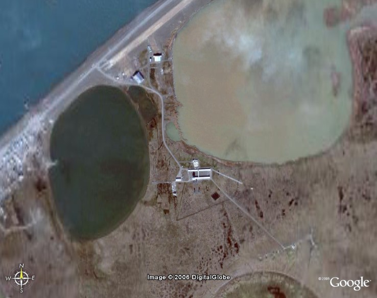
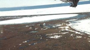
Satellite Image – High level.
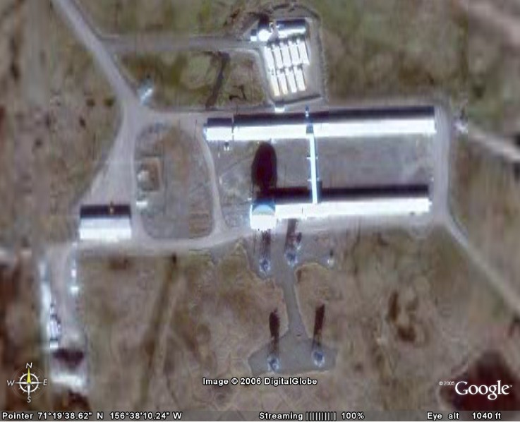
Satellite Image – Close-up.
Click to enlarge.
-
- March 2007. Courtesy George Patkoak.
-
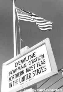
- Northern most US flag. Courtesy Harry Vanderham
-
- Courtesy Landon Parker.
-
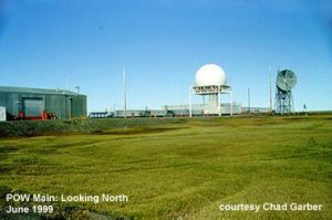
- Looking North, 1999. Courtesy Chad Garber.
-
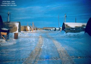
- 1956 construction camp. Courtesy Dirk Van Nest.
-
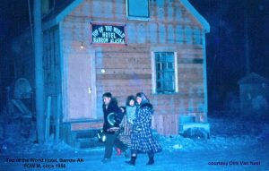
- Top of the World hotel, circa 1956-57, courtesy Dirk Van Nest.
-
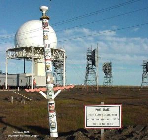
- World’s nothern-most totem pole. Courtesy Karlene Leeper.
-
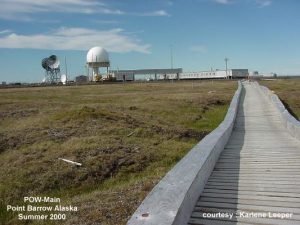
- Point Barrow (POW-Main) board walk, summer 2000. Courtesy Karlene Leeper.
-
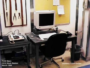
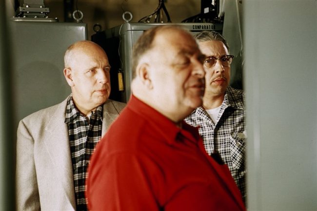
- OGC workstation. March 1999. Courtesy Chad Garber.
Construction Era Photos for POW-Main.
The pictures below were selected from the extensive collection of Markham Cheever, the DEWLine’s Superintendent of Construction from 1953 to 1957, before the Line went operational. (Click on picture to enlarge.)
-
- Workers are using a special jig to turn over a module floor. Feb 1955.
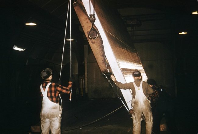
-
- An assembled module ready to be moved to the module train. Feb 1955.
-
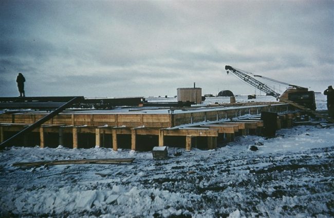
- Constructing the garage floor. Oct 1955.
-
- Construction of the garage floor. Oct 1955.
-
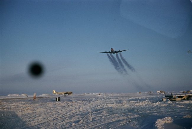
- A C-124 leaving vapour trails as it takes off from POW-Main. Feb 1955.
-
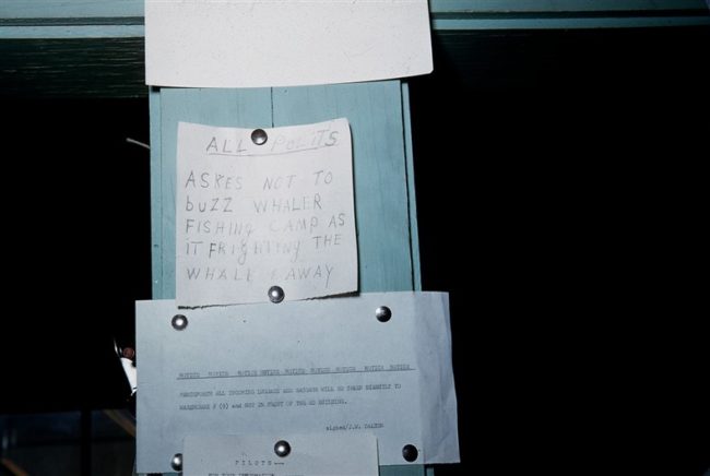
- An informal NOTAM to pilots requesting that they don’t buzz the whales. May 1955.
-
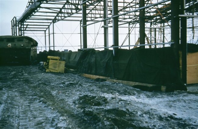
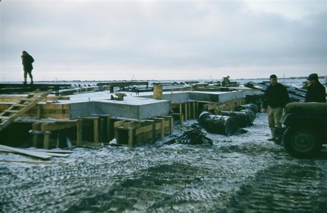
- Pouring the concrete for the hanger walls. Oct 1955.
-
- Assembly of the hanger roof structure. Oct 1955.
-
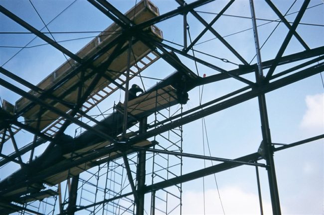
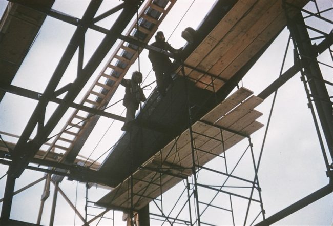
- Getting started on the hanger roof. Oct 1955.
-
- The hanger is beginning to take shape. Oct 1955.
-
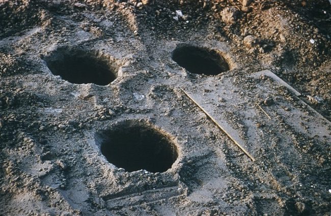
- Drilled holes for the base of the Dopplar tower. March 1956.
-
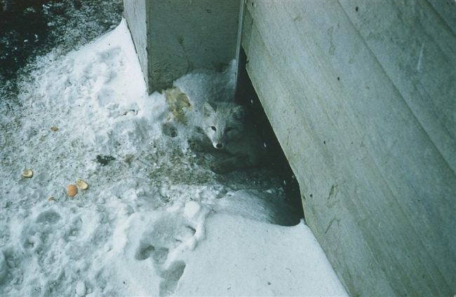
- Fox taking up residence underneath the project office. July 1956.
-
- Fearless fox on his (her?) way to the airstrip. Sept 1956.
-
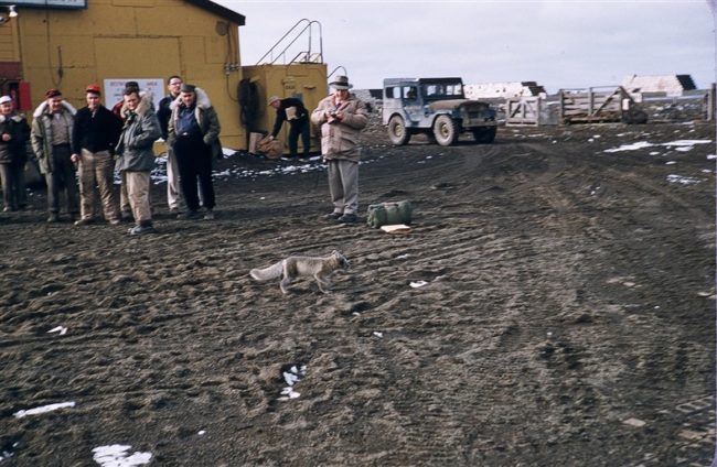
- Fox (center of photo) checking out a 6X6 truck. Sept 1956.
-
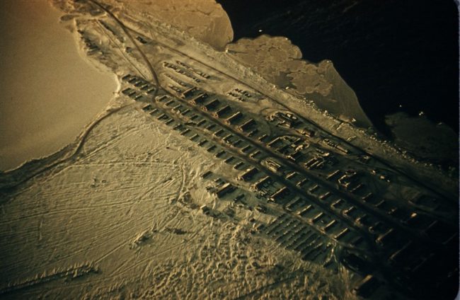
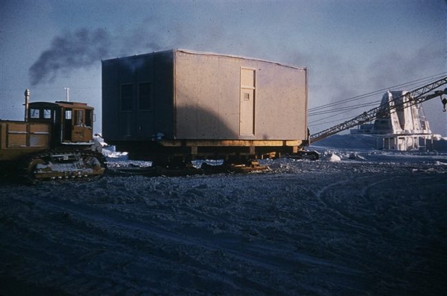
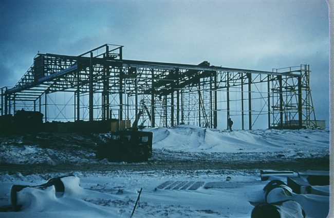
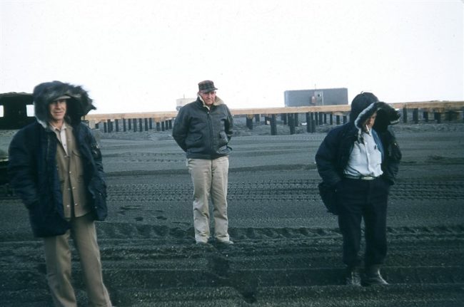
- Aerial view of the construction camp. Oct 1956.
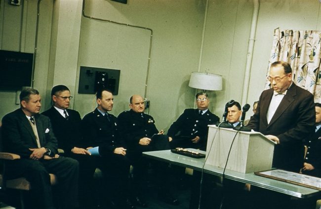
The People.
The people in the photos below, also from the Markham Cheever collection, are displayed in the hopes that someone may recognize a father, grandfather, or friend who was involved in the construction of this particular DEWLine site. (Click on picture to enlarge.)
-
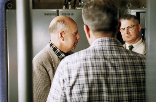
- L to R: Goetze & Ross, inspecting equipment. April 1957.
-
- L to R: Goetze, Lack, & Price inspecting equipment. April 1957.
-
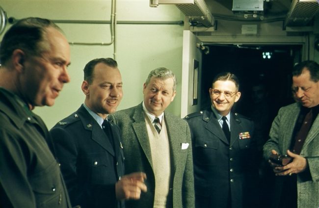
- L to R: Williamson, Walker, Neuberg, & Alexander. Oct 1956.
-
- Ribbon cutting , Walker, Ross, Williamson, & Burke. Oct 1956.
-
- L to R: Wilson, Booth, & Elsinor with the module train foundation in the background. June 1955.
-
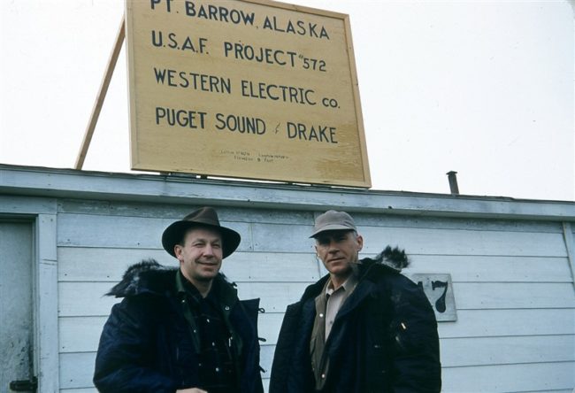
- L to R: Ray Reed & Gail Wilson in front of the Project 572 field office. June 1955.
-
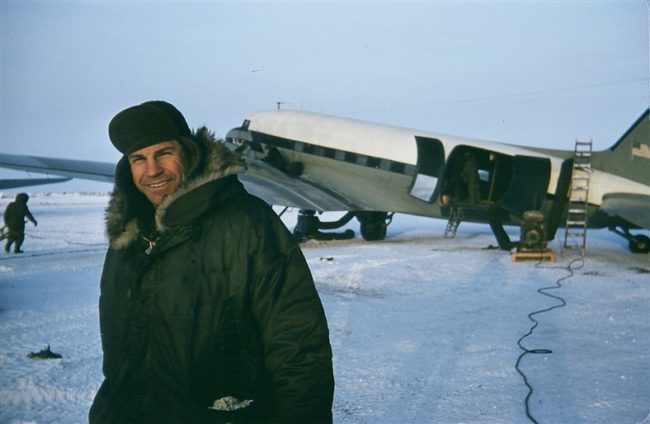
- Jim Magoffin. Notice the Herman Nelson heater warming up the interior of the DC-3 in the background. Feb 1955.
-
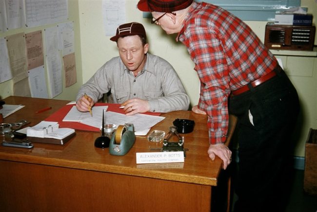
- L to R: Chuck Lawson & Bob Hughes. Feb 1956.