

DEWLINE HISTORICAL DESCRIPTION
Topography
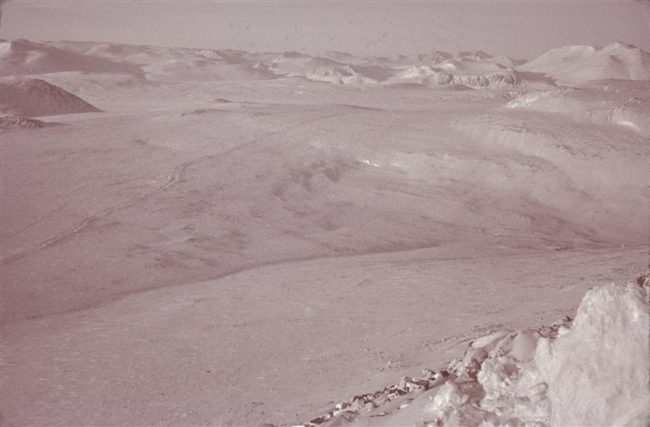
- FOX-5 on BROUGHTON ISLAND, Canada, is situated at an altitude of about 1900 feet above sea level on the summit of a small rocky plateau near the southeastern corner of the island. This Auxiliary Radar Station is one of two in the Canadian segment of DYE Sector. The most conspicuous topographic feature in the vicinity of the station is a steep walled canyon lying directly south of the plateau summit. the Canadian government has allotted 15,262 acres for use by FOX-5. The glacially scarred surface of the island is extremely rugged and is characterized by high rounded knobby ridges separated by deep canyons. the island is isolated from the mainland by two channels which were excavated during the ice age by action of a glacier in existence at that time.
Climate
- Annual precipitation, including snowfall, is approximately 12 inches, being heaviest from July to November and least from January to March. Snowfall is greatest in October and November and averages about 100 inches a year. Absolute minimum and maximum temperatures are minus 43 and plus 65 degrees Fahrenheit respectively.
Water
- To provide a constant supply of potable water during the cold season, a 7 mile round trip water haul is maintained in the summer, during which time two electrically heated 65,000 gallon rubber tanks are filled. In emergencies, a resupply of water can be obtained during winter from a lake f.5 miles distant.
PHOTOS
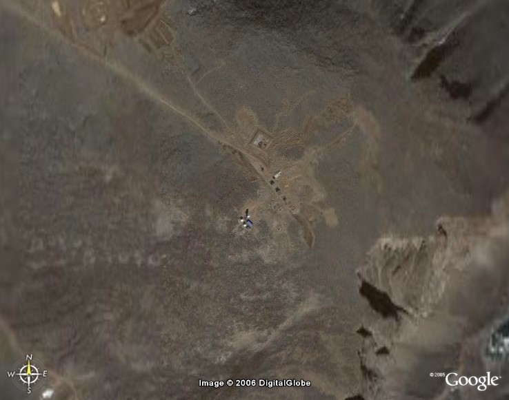
Satellite Image – High level.
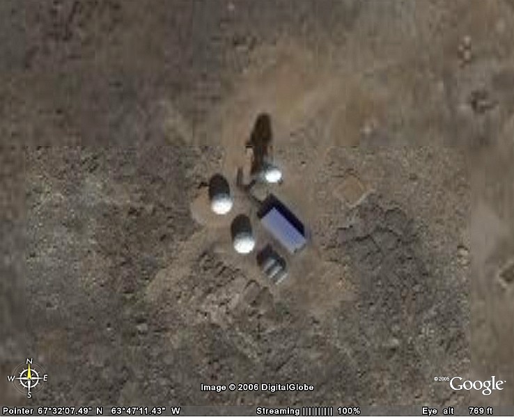
Satellite Image – Close-up.
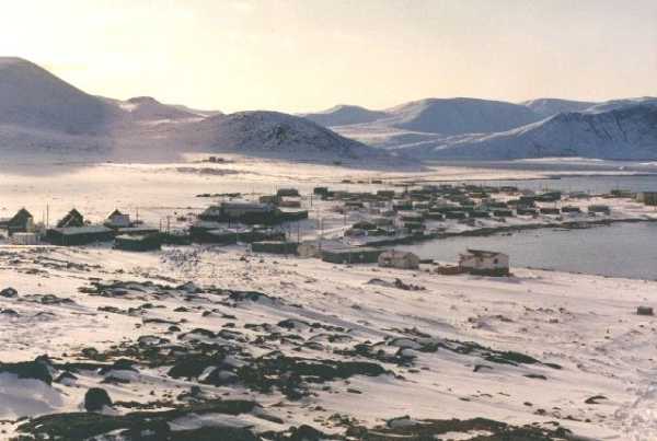
Broughton Island.
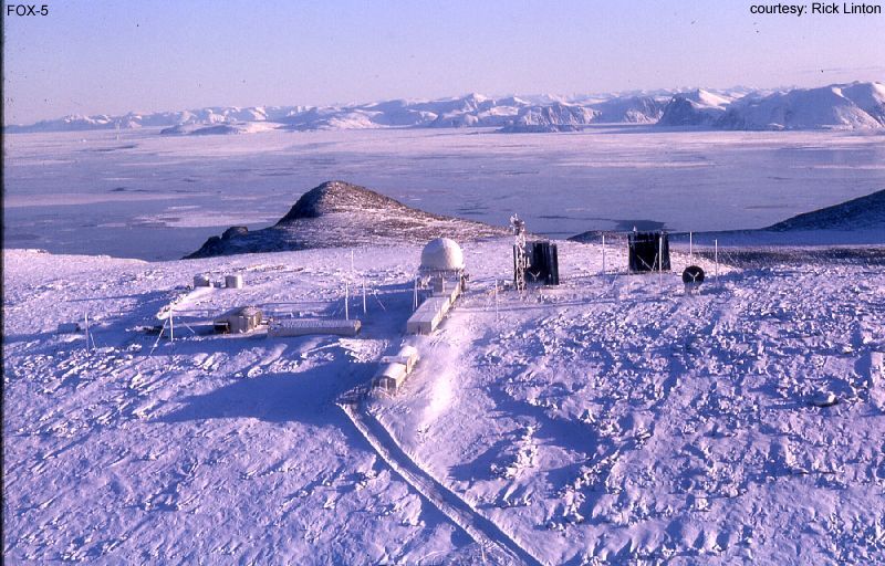
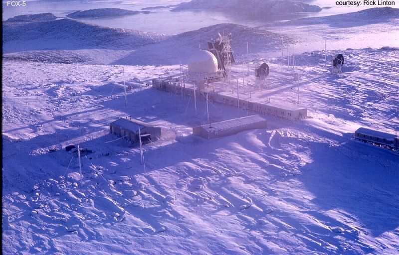
Winter site photo. Courtesy Rick Linton.
Winter Site Photo 2. Courtesy, Rick Linton.
Link to the story on the Space Path Loss Testing that was done Nov 55 – Mar 56. A photo story by Roger Collinson.
Construction Era Photos for FOX-5.
The pictures below were selected from the extensive collection of Markham Cheever, the DEWLine’s Superintendent of Construction from 1953 to 1957, before the Line went operational. (Click on picture to enlarge.)
-
- You can just see the road leading from the airstrip to the site. June 1957.
-
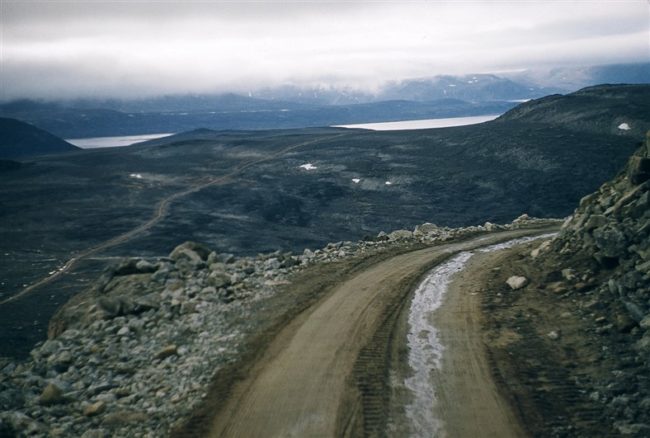
- View of the road taken from the top of a hill in mid-summer. Aug 1957.
-
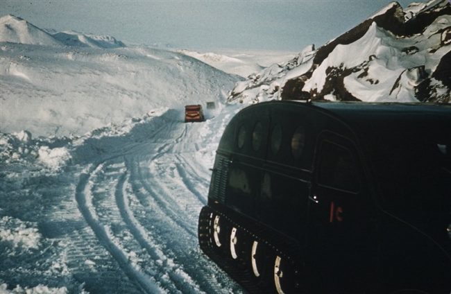
- Bombardier snowmobiles on the road to the site from the airstrip. Feb 1957.
-
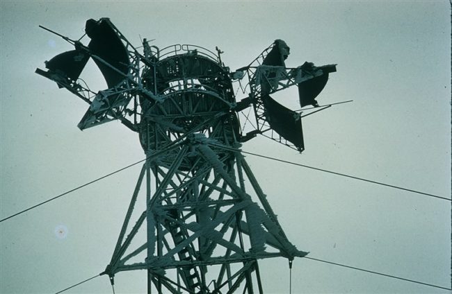
- Rime ice on the Dopplar antenna tower in mid-summer. Aug 1957.
The People.
The people in the photos below, also from the Markham Cheever collection, are displayed in the hopes that someone may recognize a father, grandfather, or friend who was involved in the construction of this particular DEWLine site. (Click on picture to enlarge.)
-
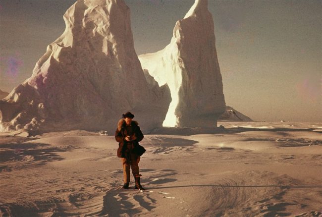
- M. S. Cheever with a small iceberg in the background. Feb 1957.
-
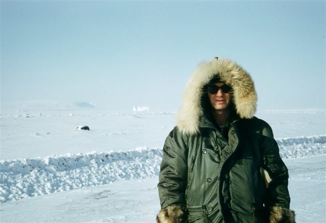
- Frank Stites. Mar 1956.