
DEWLINE HISTORICAL DESCRIPTION
Topography
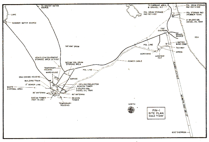
- PIN-1 at CLINTON POINT Canada, is situated at an altitude of 300 feet above sea level on a straight sector of the Amundsen Gulf coast some 5 miles northwest of Clinton Point and 10 miles east of Mount Rennell. Much of the coast in the vicinity of this 2939 acre Auxiliary Radar Station is formed of cliffs, interrupted by broad mouther deeply entrenched river valleys. There are broad gravel beaches that often extend for miles from the river valleys. Except in the major stream beds, natural drainage in the area is poor and much of the surface material may become mobile when thawed and saturated.
Climate
- Annual precipitation including snowfall, is approximately 8 inches, being heaviest from July to September and least in January and February. Snowfall is greatest in October and November and is about 32 inches a year. Absolute minimum and maximum temperatures are minus 43 and plus 83 degrees Fahrenheit respectively.
Water
- A two mile round trip potable water haul is maintained summer and winter
PHOTOS
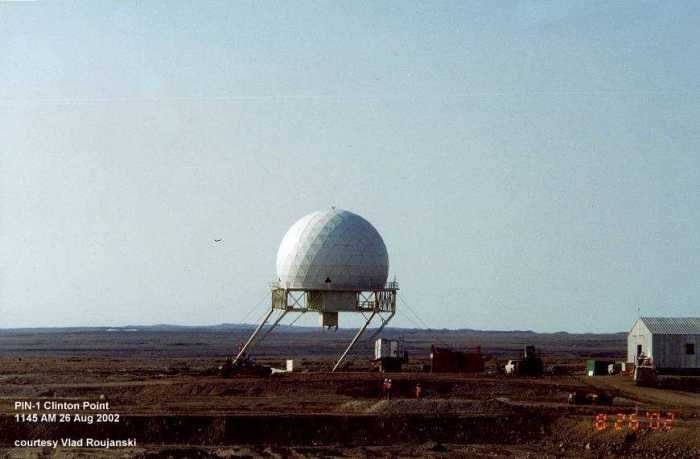
Demolishing the radome. Ready to go.
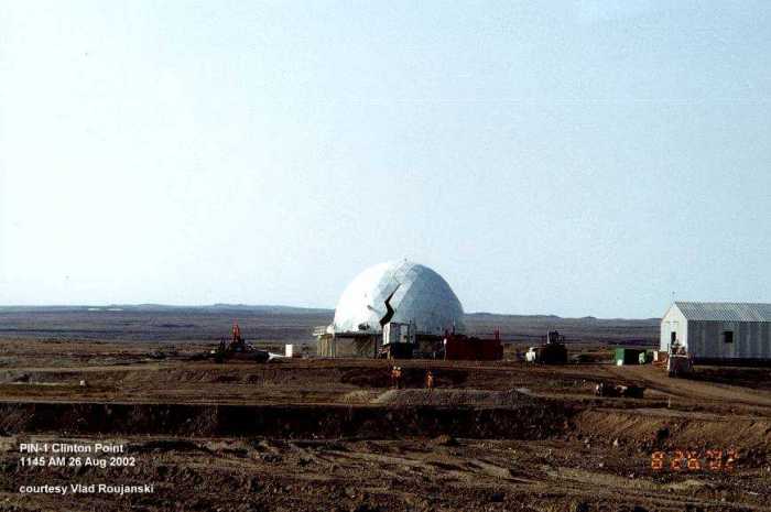
The following sequence of 3 photos show the demolishing of the radome in 2002 during the reclamation of the site. The module train had already been removed and only the radome was left standing. Photos courtesy of Vlad Roujanski, EBA Engineering Consultants Ltd. Edmonton, AB.
Going… .
Going…… .
Gone!
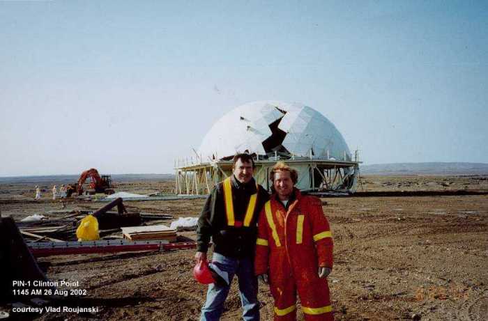
The wrecking crew. Job well done.
Construction Era Photos for PIN-1.
The pictures below were selected from the extensive collection of Markham Cheever, the DEWLine’s Superintendent of Construction from 1953 to 1957, before the Line went operational. (Click on picture to enlarge.)
-
- Road to the airstrip blown free of snow. March 1956.
-
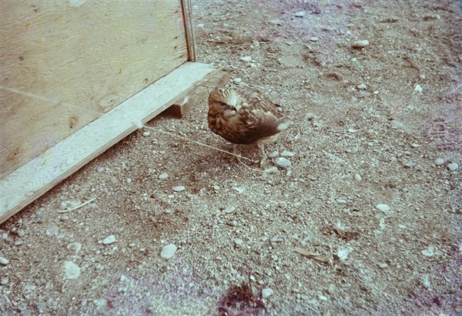
- A curious hawk checking things out. June 1956.
The People.
The people in the photos below, also from the Markham Cheever collection, are displayed in the hopes that someone may recognize a father, grandfather, or friend who was involved in the construction of this particular DEWLine site. (Click on picture to enlarge.)
-
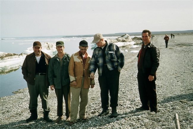
- L to R: Donohue, Klien, Flanders, Brannlan, & Ripsdorf. July 1956.
-
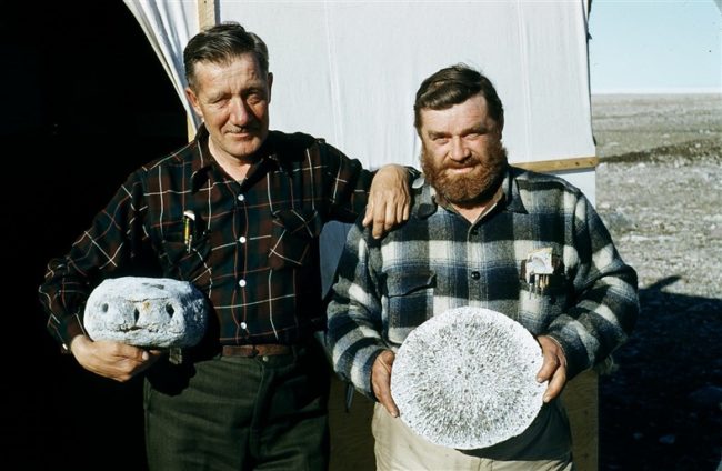
- L to R: Quist and Christopherson holding prehistoric bones. June 1955.