
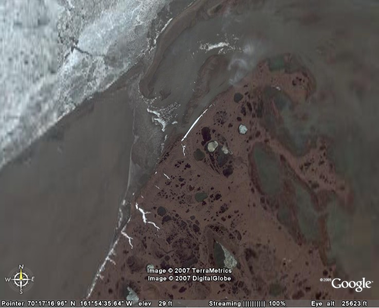
Satellite Image – High level.
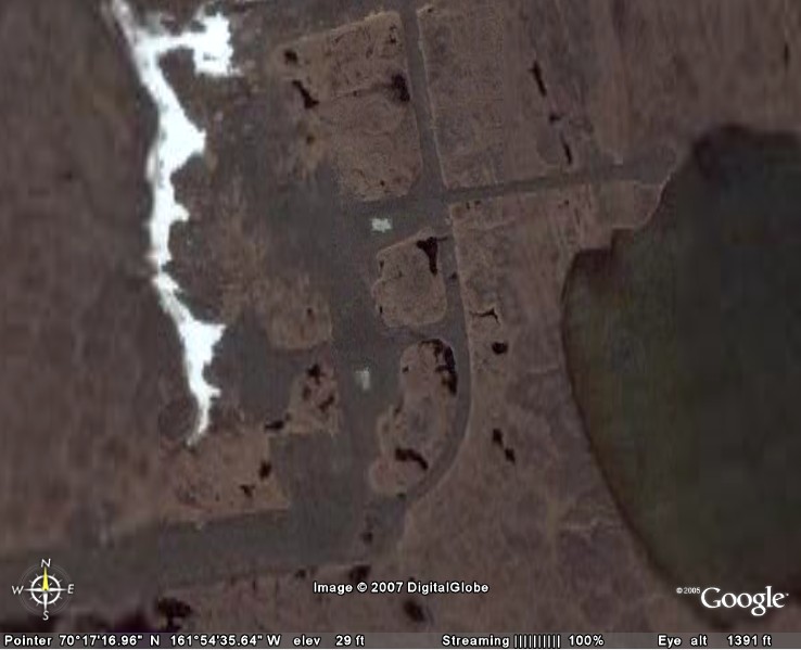
Satellite Image – Close-up.
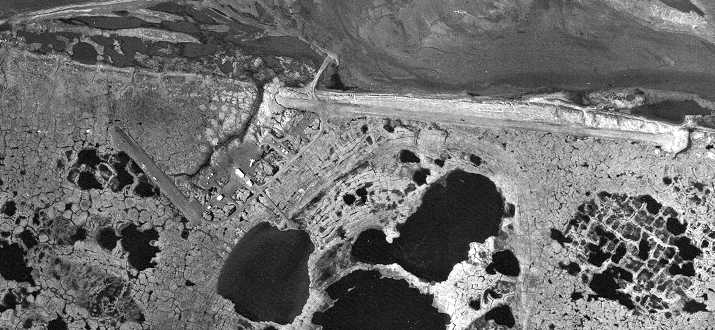
High altitude aerial view.
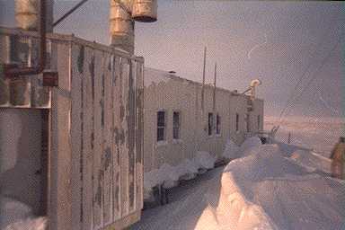
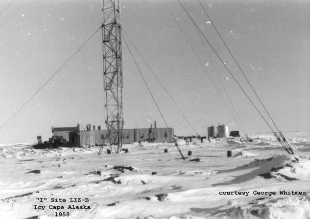
Winter view.
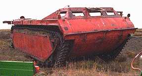
Abandoned snow/rescue vehicle.
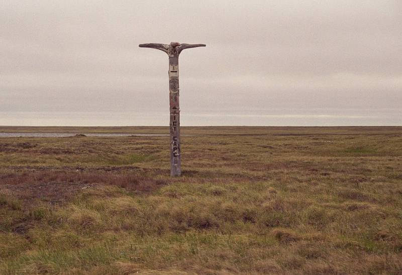
Site totem pole taken 1999. Courtesy Stephen Parker.
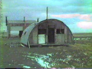
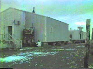
Abandoned site photo. Courtesy Stephen Parker.
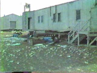
Abandoned site photo. Courtesy Stephen Parker.
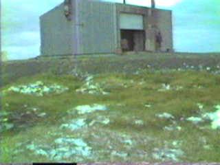
Abandoned site photo. Courtesy Stephen Parker.
Abandoned site photo. Courtesy Stephen Parker.