
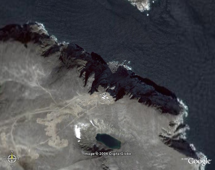
Satellite Image – High level.
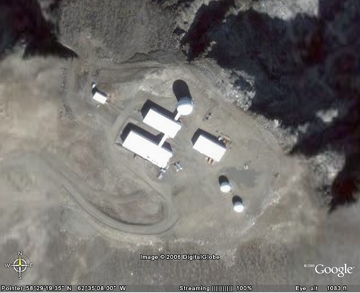
Satellite Image – Close-up.
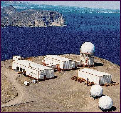
Site from the air.
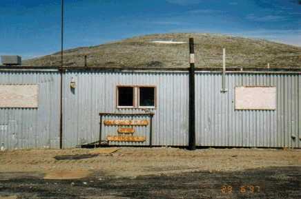
Lower camp. Courtesy Dan McIsaac)
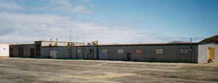
Lower camp, another view, courtesy Dan McIsaac.
Satellite Image – High level.
Satellite Image – Close-up.
Site from the air.
Lower camp. Courtesy Dan McIsaac)
Lower camp, another view, courtesy Dan McIsaac.