
DEWLINE HISTORICAL DESCRIPTION
Topography
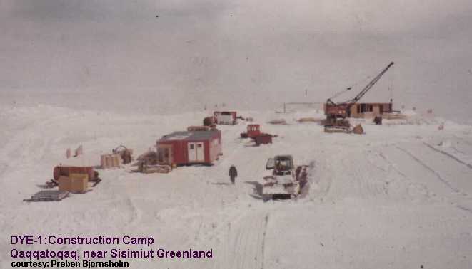
- DYE-1, near QAQQATOQAQ (alternate spelling “Qaqatoqaq”) on the west coast of Greenland, is situated on the top of a mountain 4750 feet high. There is insufficient flat land within practical range of this Auxiliary Radar Station for an airstrip. For the majority of the year, transport to DYE-1 is by helicopter. During the annual sealift season, ships and landing craft have access to a beach area at the head of Itidadlak Fjord. A 19 mile switchback road built up the mountain connects the beach area with the site. 162 acres for use at DYE-1 has been leased from Denmark.
Climate
- Annual precipitation, including snowfall, is approximately 15 inches. Snowfall averages about 120 inches a year. Absolute minimum and maximum temperatures are minus 29 and plus 62 degrees Fahrenheit respectively.
Water
- Potable water is stored in two 345,000 gallon insulated storage tanks located near the composite building. During the summer, the tanks are filled via a 40,000 foot pipeline from a pumping station at a fresh water lake. In addition to the annual supply of water stored in tanks, ice and snow melting facilities are provided for use in emergencies.
PHOTOS
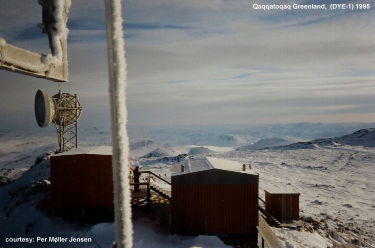
Site Photo 1995. From radio installation at summit. Courtesy Per Miller Jensen.
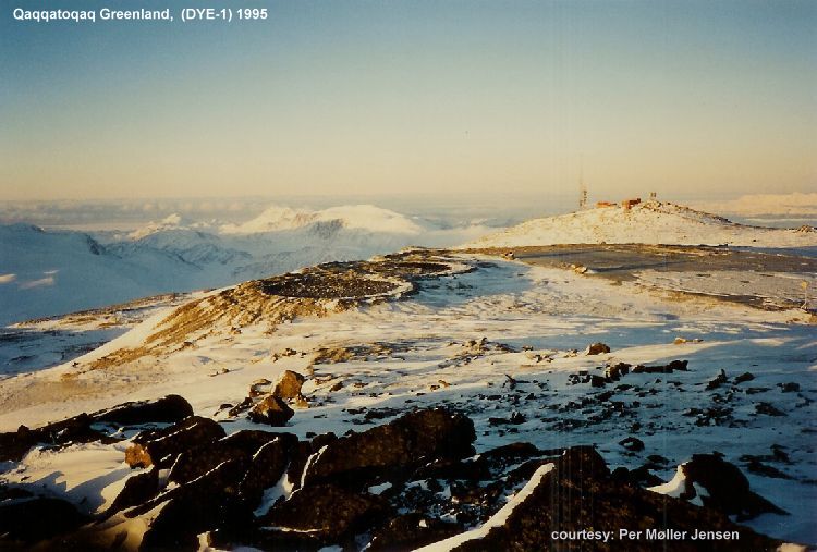
Site Photo 1995. Showing remains of radar tower base. Courtesy Per Miller Jensen.
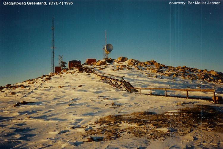
Site Photo 1995. Showing radio installation at summit. Courtesy Per Miller Jensen.
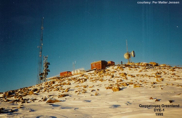
Site Photo 1995. Another view of radio installation. Courtesy Per Miller Jensen.
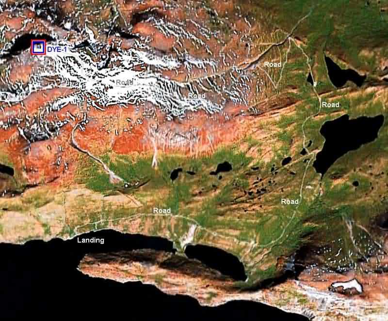
Aerial map showing site location and road to the beach area.
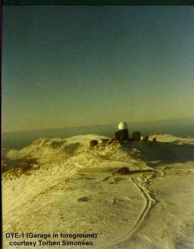
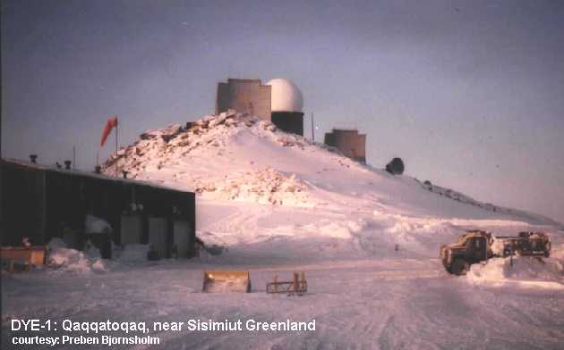
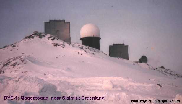
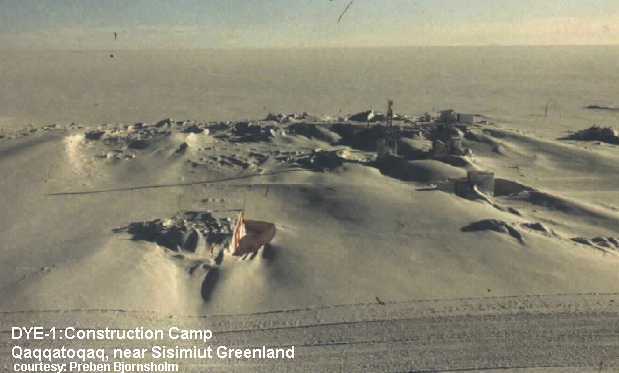
DYE-1. Qaqqatoqaq near the community of Sisimiut Greenland.
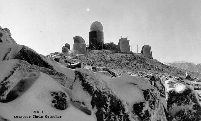
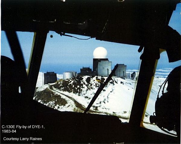
DYE 1 in 1964.
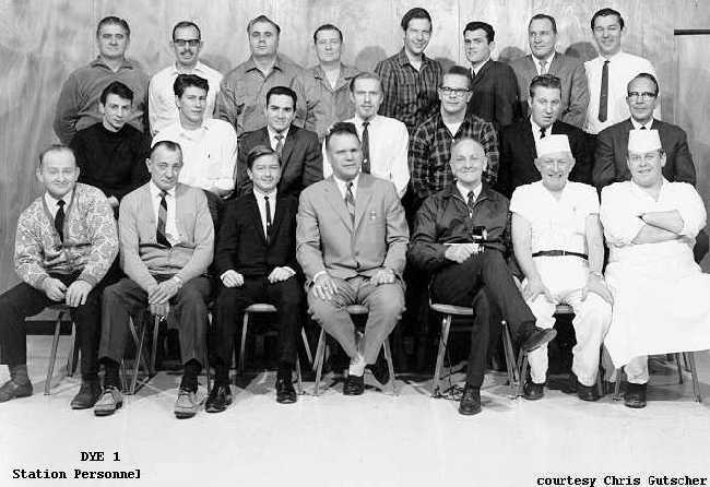 Photo of Station Personnel, January 1, 1965.
Back Row: G.Kratinski; C.Andreasen; B.Bittner; J.Gormley; C.Voelkel; C.Bullion; R.Gilham; H.Hunton
Middle Row: H.Rengel; D.Harbeson; H.Vanderham; C.Gutscher; R.Zuntag; E.Kline; H.Jensen
Front Row: K.Englesen; R.Smith; H.Cady; C.Munshaw; R.Fretwell; H.Jensen; M.Helbo.
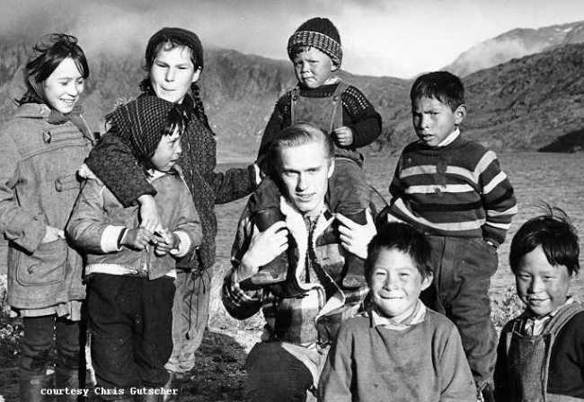
Chris Gutscher and native children at the fjord at the end of the (at that time) longest road in Greenland.
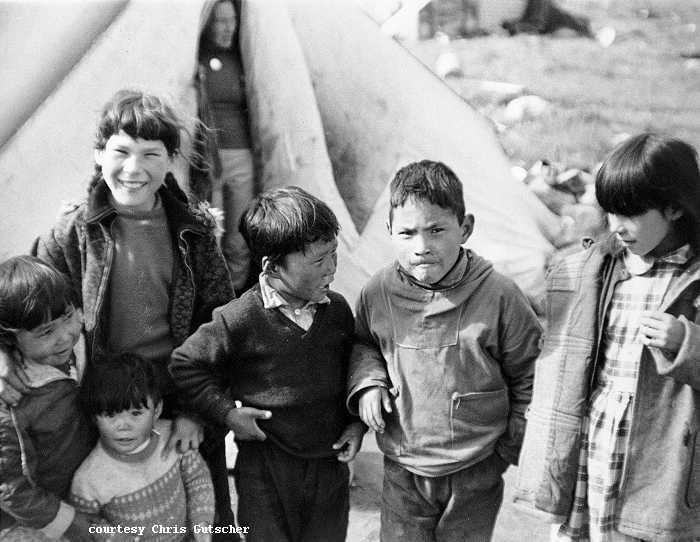
Fjord Kids, 1964.