
DEWLINE HISTORICAL DESCRIPTION
Topography
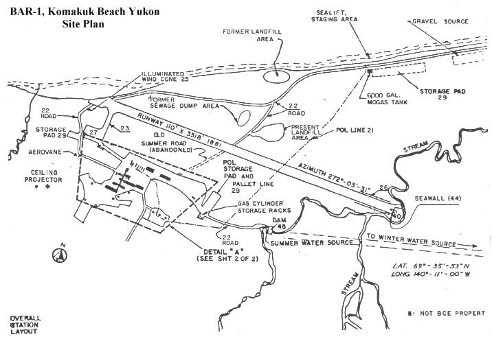
- BAR-1 at KOMAKUK BEACH Canada , is situated on 924 acres of low lying tundra covered terrain at an altitude of 40 feet above sea level. this Auxilliary Radar Station is approximately 100 miles east of BAR-M and is the western most site in Canada.
Climate
- Annual precipitation including snowfall, is approximately 6 inches. Snowfall is greatest in January and October and averages about 24 inches a year. Mean daily temperatures run between a minimum of plus 3.8 and a maximum of plus 15 degrees Fahrenheit.
Water
- The summer and winter potable water haul is a 1 and 2 – mile round trip respectively
BAR-1 to Become a Historical Site
BAR-1 was an Auxiliary (AUX) site located at Komakuk Beach, Yukon, just east of the Yukon-Alaska boundary. It was the first DEWLine station to be built and was completed in 1954 as an experimental (proof-of-concept) unit as the first section of the DEWLine, to test equipment, structures, and logistic needs in the arctic. The success of the station guided the final design and deployment of the rest of the Line.
The station consisted of a main building and interconnected residences, mess hall/recreation area, radar/communications, workshops, and power generators. A separate large warehouse and fully equipped garage supported the station’s activities. Subsequent DEWLine station designs consisted of module trains rather than the original BAR-1 design of interconnected buildings.
BAR-1 shut down as an operating station in June, 1993 with a site clean up scheduled for sometime in the near future. Once clean up is completed the land will be transferred to the Canadian Parks Service for inclusion in Ivvavik National Park. Commemoration of the site within the National Park for its regional importance is planned (update needed).
For additional information on BAR-1, read David Neufeld’s 1998 article, “Commemorating the Cold War in Canada: Considering the DEW Line.”
PHOTOS
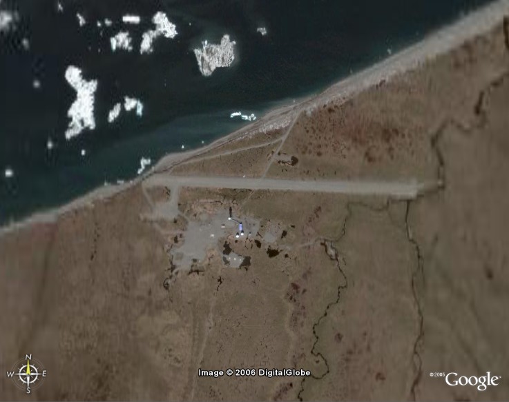
Satellite Image – high level.
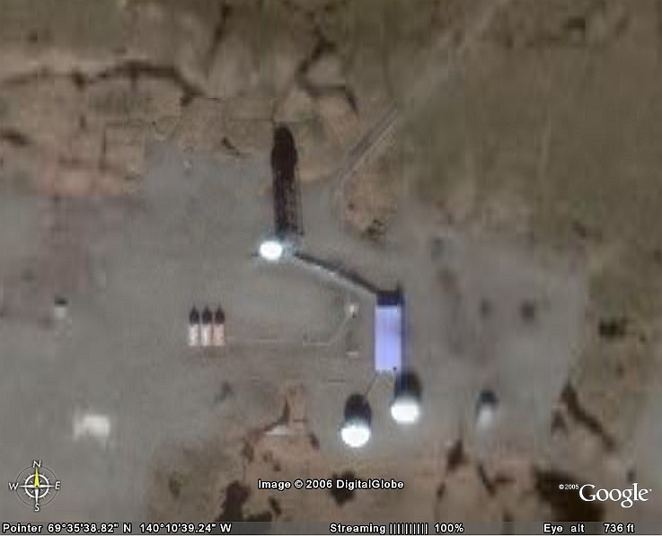
Satellite Image – close-up.
HISTORICAL ARTICLE
by David Neufeld
Parks Canada 1997
David Neufeld’s DEW Line BAR-1 Archive
hosted by Charles Stankievech
Construction Era Photos for BAR-1.
The pictures below were selected from the extensive collection of Markham Cheever, the DEWLine’s Superintendent of Construction from 1953 to 1957, before the Line went operational. (Click on picture to enlarge.)
-
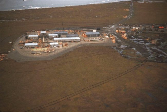
- Photo shows the unusual layout of the modules. BAR-1 was the prototype, proof-of-concept station, and the modules were not all in line as they were with the other later Auxiliary sites. Aug 1953.
-
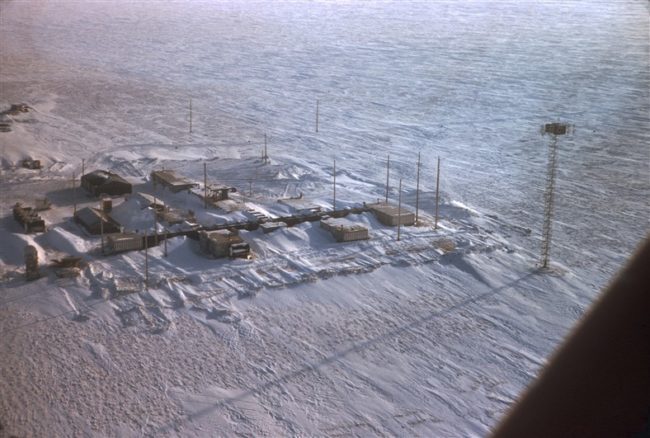
- Aerial view of the modules. The various modules are connected by enclosed passageways. March 1956.
-
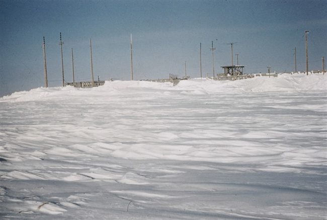
- Snow buried modules showing the radome platform awaiting the radar antennas and radome. March 1956.
-
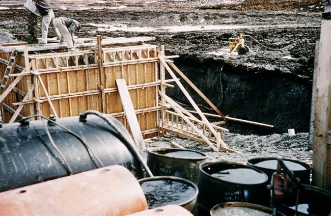
- Getting ready to pour concrete for the base of the Doppler antenna tower. June 1956.
-
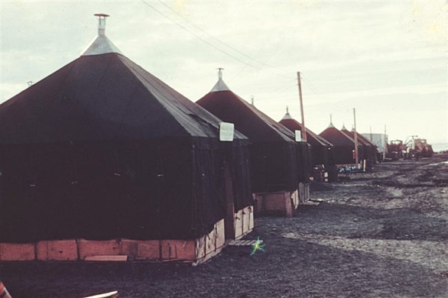
- The construction camp, living quarters for the workers. July 1953.
-
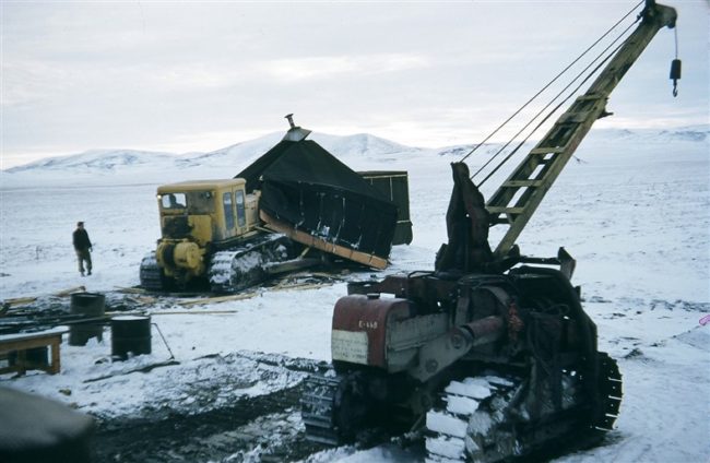
- Breaking up the construction camp at the completion of the site work. Oct 1953.
-

- Husky pups Aug 1953.
-
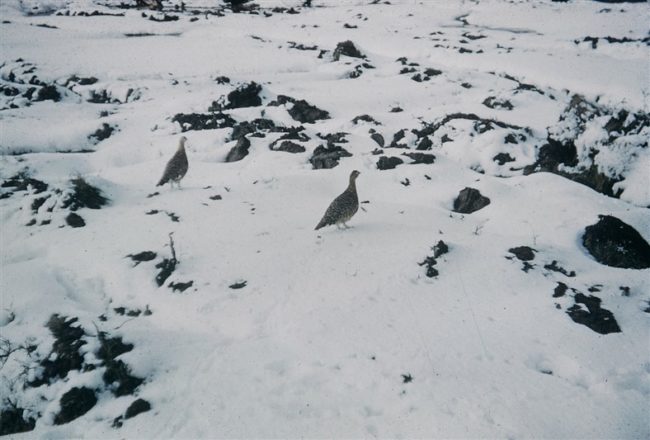
- Arctic wildlife, ptarmigans. Aug 1953.
-
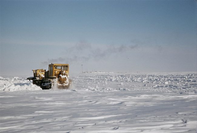
- Cats plowing ice on the lake. March 1956.
The People.
The people in the photos below, also from the Markham Cheever collection, are displayed in the hopes that someone may recognize a father, grandfather, or friend who was involved in the construction of this particular DEWLine site. (Click on picture to enlarge.)
-

- Neil Bullen. Sept 1953.
-
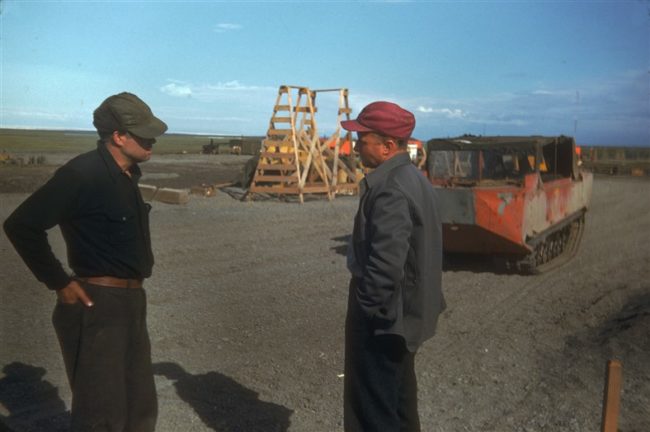
- L to R: Les Jenner & Pren Jackson. July 1953.
-
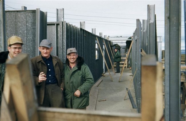
- L to R: Heuser, Bulton, & McBee standing in one of the inter-module passageways under construction. Aug 1953.