
DEWLINE HISTORICAL DESCRIPTION
Topography
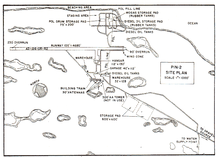
- PIN-2 on CAPE YOUNG, Canada, is situated at an altitude of about 60 feet above sea level on 2407 acres on Young Point. This point is characterized by its low relief, the summit of which is a small flat tableland, studded with many small lakes ponds and swamps. The point projects for about 3 miles into Dolphin and Unior Strait. Surface drainage is poor. However, the gravel underlying much of the terrain provides for good subsurface drainage. Swamps on the tableland summit average 3 – 5 feet deep (over gravel) and are generally filled with vegetation.
Climate
- Annual precipitation, including snowfall, is approximately 6 inches, being heaviest in July and August and least in January and February. Snowfall is greatest in October and November and is about 23 inches a year. Absolute minimum and maximum temperatures are minus 53 and plus 82 degrees Fahrenheit respectively.
Water
- A round trip potable water haul of 12 miles is maintained during the summer. There is no winter haul. During cold weather, the station is supplied with water from two 65,000 gallon electrically heated rubber tanks filled during the warm weather.
PHOTOS


Missing from the photo was Ron Blessin who was on Console duty! Courtesy of Ron Blessin.
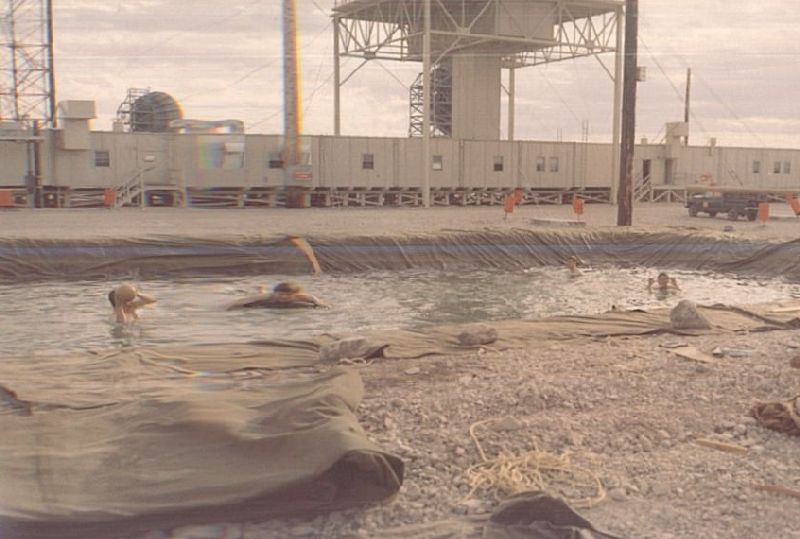
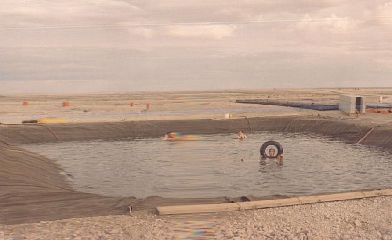
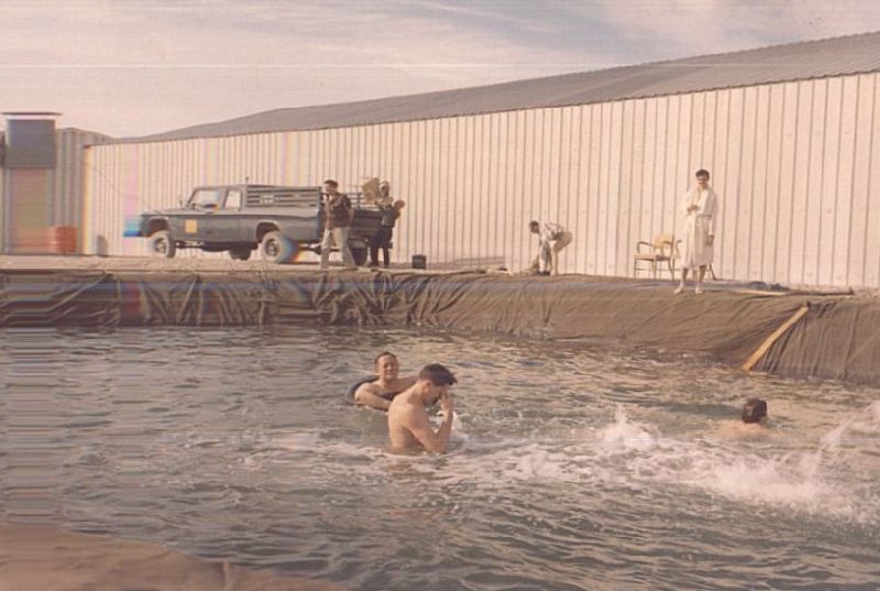
The Old Swimmin’ Hole:
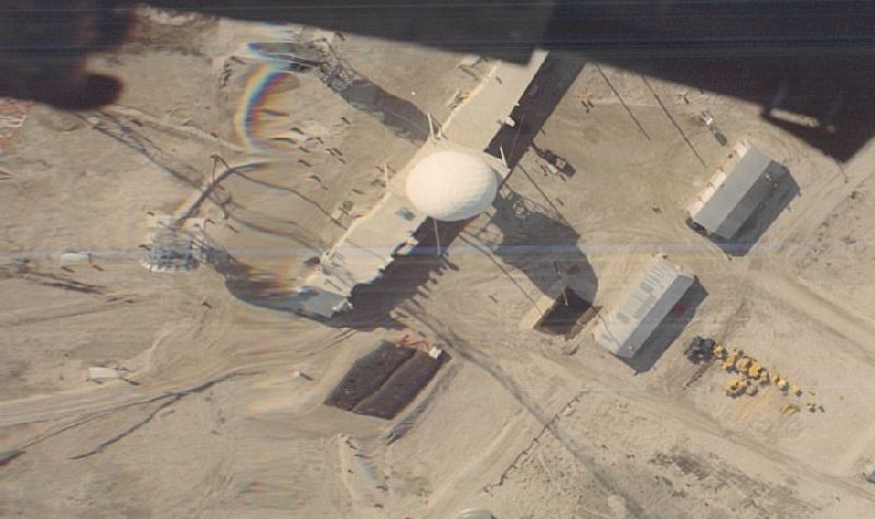
Construction Era Photos for PIN-2.
The pictures below were selected from the extensive collection of Markham Cheever, the DEWLine’s Superintendent of Construction from 1953 to 1957, before the Line went operational. (Click on picture to enlarge.)
-

- Pumping fuel into an oldie but goodie, a Junker W33, CF-AQW. May 1955.
-

- Contrasting aircraft. A Canadian Airways Junker W-33 with a C-124 way in the background. May 1955.
-

- Bad landing! CF-AQW got clobbered. May 1955.
-

- Hanger frame going up. May 1955.
The People.
The person in the photos below, also from the Markham Cheever collection, is displayed in the hopes that someone may recognize a father, grandfather, or friend who was involved in the construction of this particular DEWLine site.

Randy Wills with the shop on the left where the modules are being assembled. May 1955.