
DEWLINE HISTORICAL DESCRIPTION
Topography
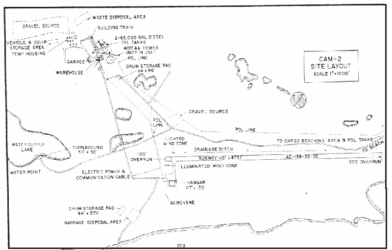
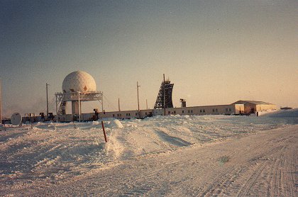
- CAM-2 at GLADMAN POINT, Canada, is situated on a drumlinoid at an altitude of from 40 to 50 feet above sea level. Drumlinoids (elongated, cigar shapes hills of glacial origin) are the most prominent topographic feature in the vicinity of this Auxiliary Radar Station. Many of them form small islands in Simpson Strait which separates King William Island from Adelaide Peninsula on the mainland. Immediately north of the station drumlinoid is a drain-basin that empties into a shallow bay. An extensive swamp occupies most of this drainage valley. The Canadian Government has allotted 1648 acres for use by CAM-2.
Climate
- Annual precipitation, including snowfall, is approximately 5 inches, being heaviest in July and August and least in February. Snowfall is greatest in October and November and averages about 20 inches per year. Absolute minimum and maximum temperatures are minus 56 and plus 72 degrees Fahrenheit respectively.
Water
- A 1.5 mile round trip potable water haul is maintained summer and winter
PHOTOS
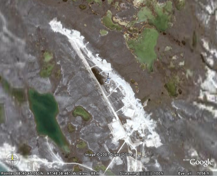
Satellite Image – High level.
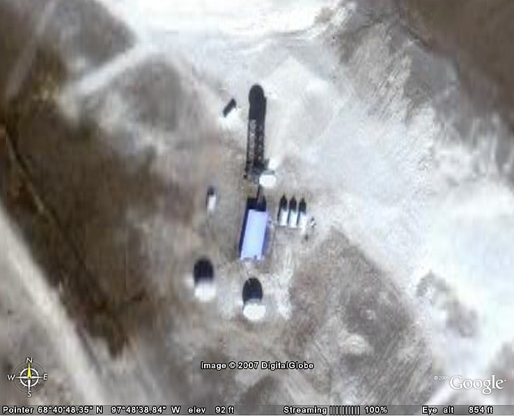
Satellite Image – Close-up.
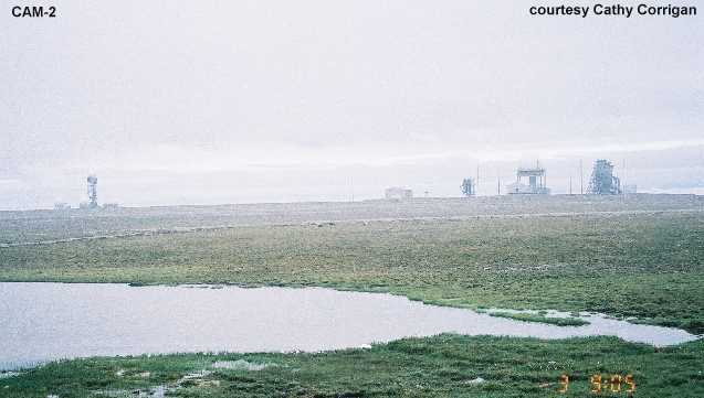
Foggy Day at CAM-2 DEW site taken Jul/Aug 2001.
Construction Era Photos for CAM-2.
The pictures below were selected from the extensive collection of Markham Cheever, the DEWLine’s Superintendent of Construction from 1953 to 1957, before the Line went operational. (Click on picture to enlarge.)
-
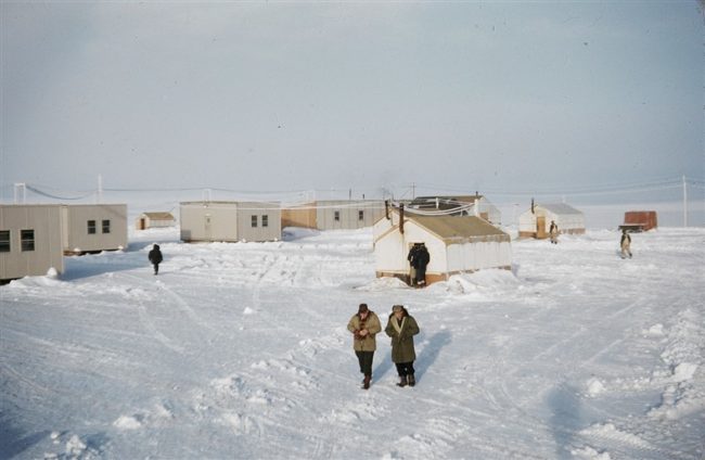
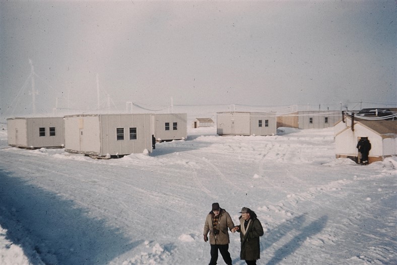
- Construction camp showing separate modules before assembly into a “train.” Oct 1955.
-
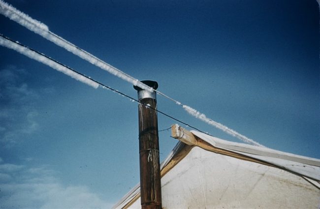
- Hoar frost on the electrical wires. Oct 1955.
-
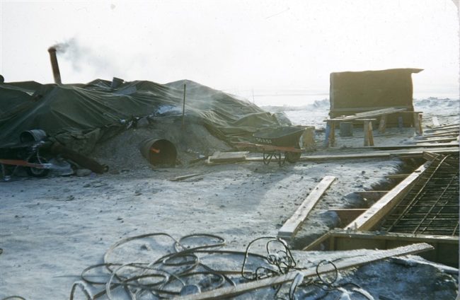
- Heating the concrete gravel. Oct 1955.
-
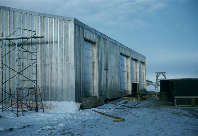
- Almost completed garage. Oct 1955.
-
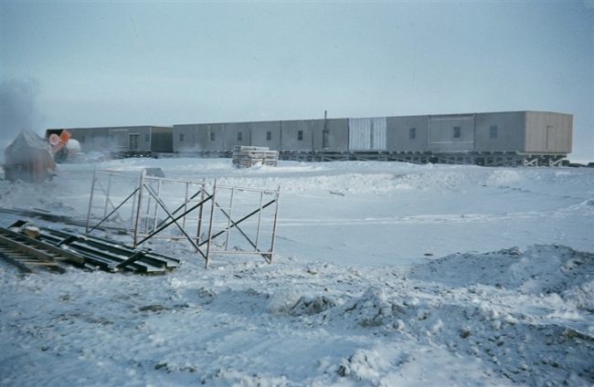
- Module train coming together. Oct 1955.
-
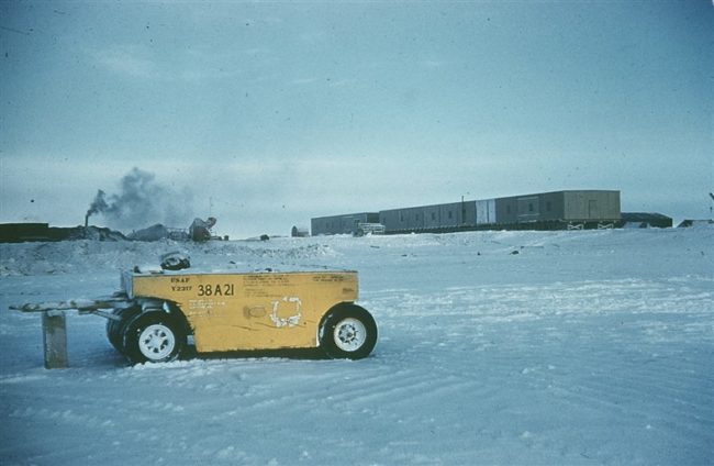
- Module train under construction. Oct 1955.
The People
The people in the photo below, also from the Markham Cheever collection, are displayed in the hopes that someone may recognize a father, grandfather, or friend who was involved in the construction of this particular DEWLine site. (Click on picture to enlarge.)
Construction camp with Findlayson and Kennedy in the foreground. Oct 1955.