
DEWLINE HISTORICAL DESCRIPTION
Topography
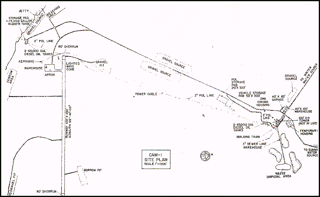
- CAM-1 on JENNY LIND ISLAND, Canada, is situated on 3220 acres at the crown of a small peninsula approximately 100 feet above sea level. Jenny Lind Island is irregular in outline, is surrounded by flat-shored beaches and has minor relief. much of the surface is covered by swamps, small lakes and ponds. The island supports a sluggish meandering river that drains from an extensive swamp.
Climate
- Annual precipitation, including snowfall, is approximately 7 inches, being heaviest in July and August and least in February. Snowfall is greatest in October and November and averages about 38 inches a year. Absolute minimum and maximum temperatures are minus 55 and plus 74 degrees Fahrenheit respectively.
Water
- A one mile round trip potable water haul is maintained summer and winter
PHOTOS
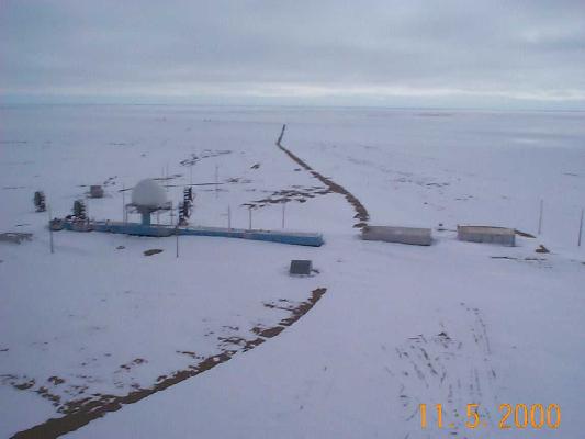
Aerial shot, May 2000, courtesy Dan McIssac.
Aerial shot, May 2000, courtesy Dan McIssac.
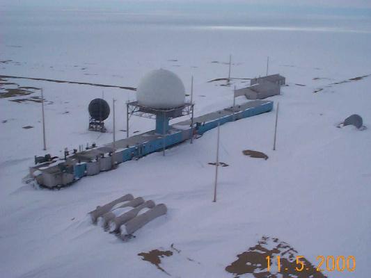
Aerial shot, May 2000, courtesy Dan McIssac.
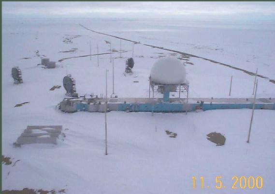
Aerial shot, May 2000, courtesy Dan McIssac.
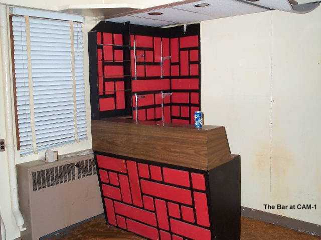
The watering hole (bar) at CAM-1, Aug/Sept 2002.
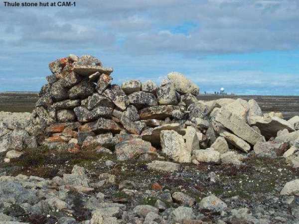
Thule Stone Hut Aug/Sept 2002.

Christmas 1962 dinner menu.

Christmas 1962 dinner menu.
Construction Era Photos for CAM-1.
The pictures below were selected from the extensive collection of Markham Cheever, the DEWLine’s Superintendent of Construction from 1953 to 1957, before the Line went operational. (Click on picture to enlarge.)
-
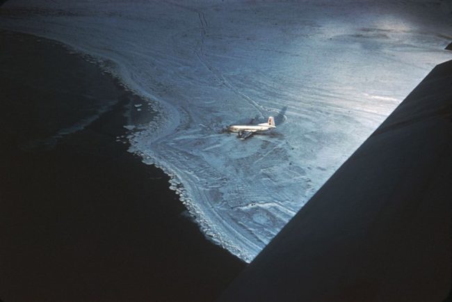
- C-124 wreckage near CAM-1. Oct 1955.
-
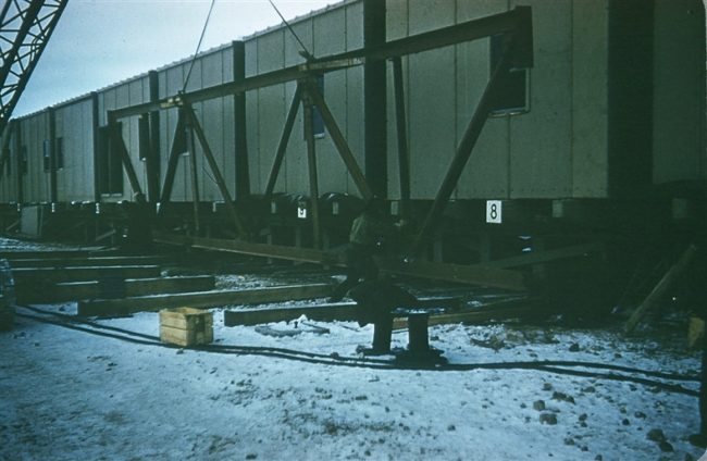
- Frabricating the radome trusses. Oct 1955.